Coast path extends across East Sussex
The latest 28 miles of the King Charles III England Coast Path have opened.
The new section, bookended by Eastbourne and Rye Harbour, becomes part of what will be the world’s longest managed trail when all 2,700 miles are joined up.
Starting at Eastbourne Pier, the section takes you east to Sovereign Harbour and the shingle front at Pevensey Bay. Then, Normans Bay and Cooden Beach before Bexhill Promenade and the grade I-listed De La Warr Pavilion.
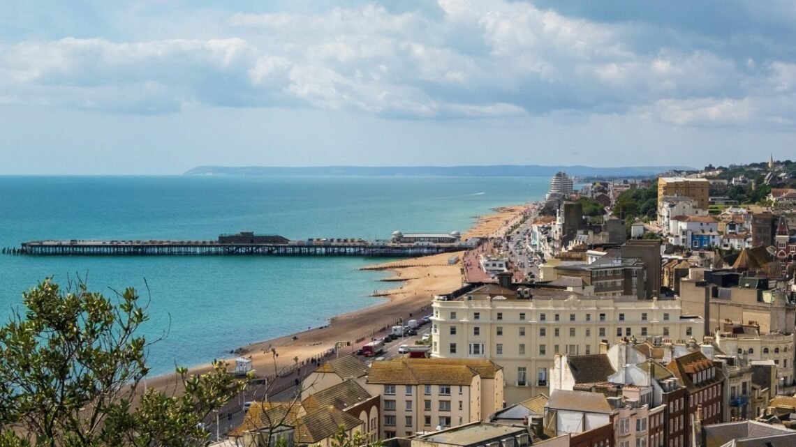
Next stop is Hastings, followed by Rye Harbour, near the mouth of the River Rother. Throughout the route, you’ll see some of the many Martello Tower forts that have dotted England’s coastline since the Napoleonic Wars.
Railway stations pepper its course, which includes signage and existing trails, some following improvements. In places, the path follows existing routes where cycling may be permitted.
Sarah Davies, Natural England’s principal officer for Sussex and Kent, said: “The East Sussex shoreline provides a fantastic opportunity for people to connect with nature, witnessing habitats of national and international renown.
“Visitors can also experience the Coastal Cultural Trail and award-winning galleries like Towner in Eastbourne, Bexhill’s De La Warr Pavilion, and the Hastings Contemporary.”
Natural England worked closely with East Sussex County and Wealden and Rother District Councils, The Ramblers and Sussex Wildlife Trust to develop and establish the new part of the trail.
Andy Le Gresley, team manager for rights of way and countryside at East Sussex County Council, said: “This new stretch of National Trail, running along the scenic East Sussex coast, links a wide variety of famed local attractions as well as several unique natural habitats.
“Walkers can enjoy Eastbourne and Hastings, as well as diverse terrain, including quiet stretches of shingle beach, busy promenades and the hilly-but-beautiful Hastings Country Park. Rye Harbour Nature Reserve, at the eastern end of the trail, offers a chance to observe coastal birds and other wildlife.”
A map showing progress to open the coast path can be found on the King Charles III England Coast Path pages of gov.uk.


